
Partly cloudy skies greeted me today. I got on the road and did a quick (well, 6mph quick) 800′ climb up to the Alpowa Summit. There were clouds 3-4 miles to the south but the winds were so strong that I was getting rain drops on me as I stopped for some pictures. 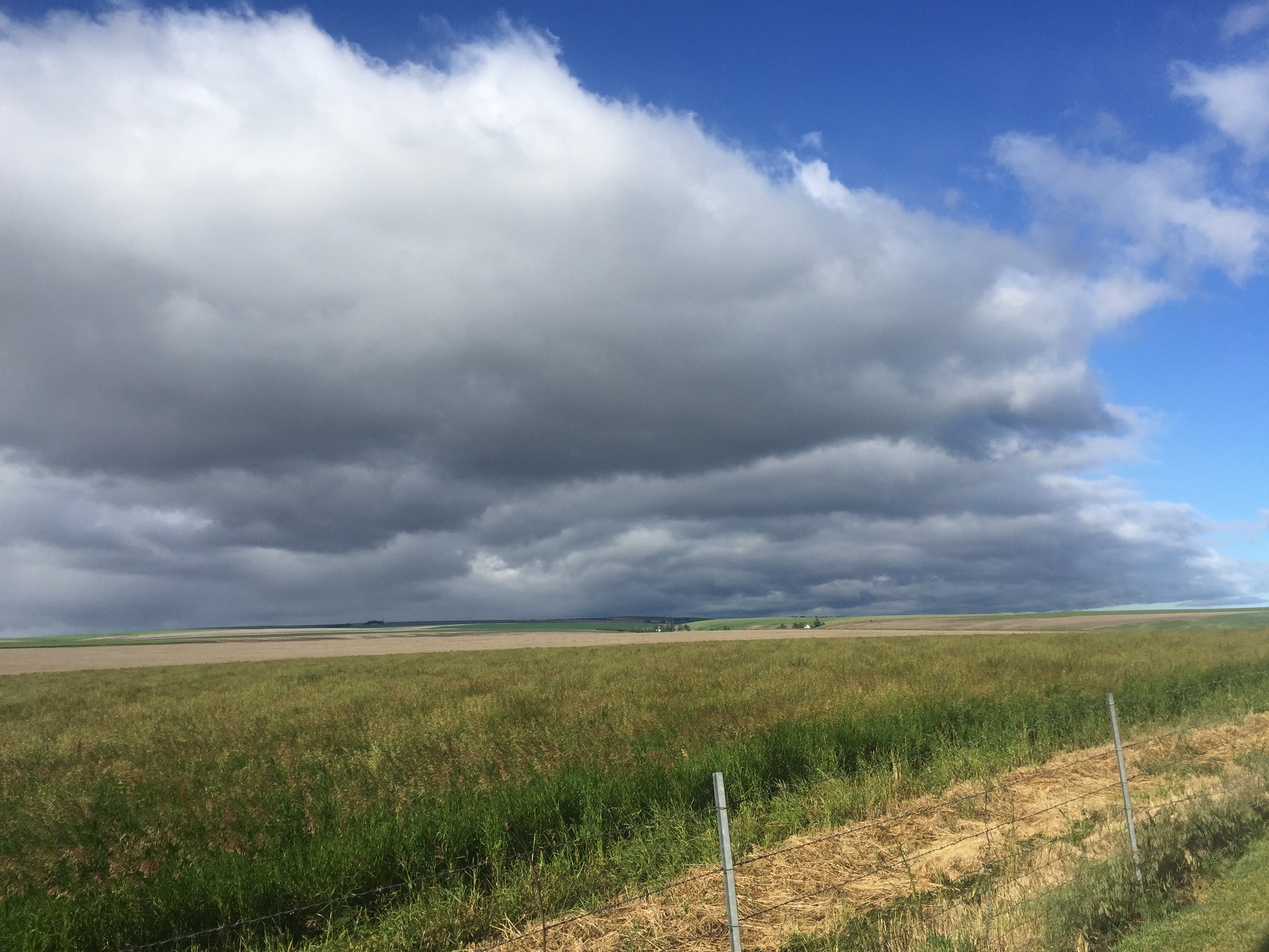
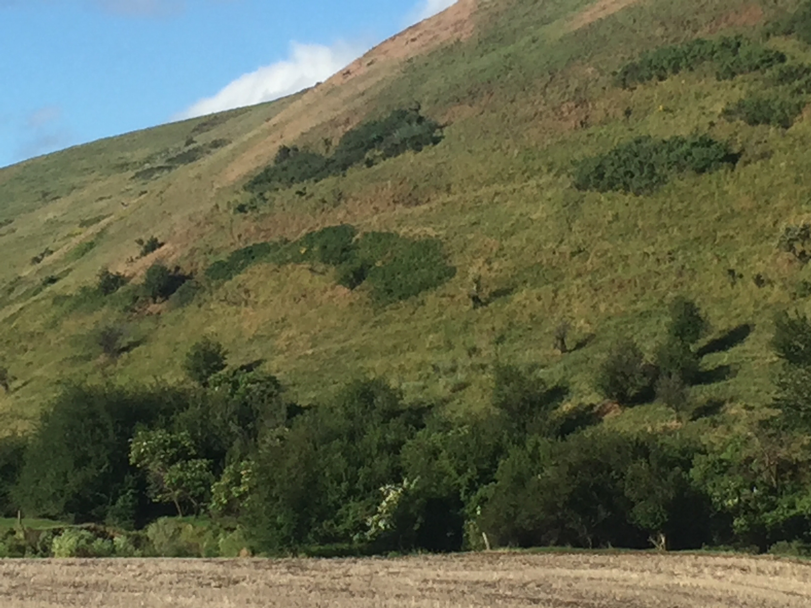
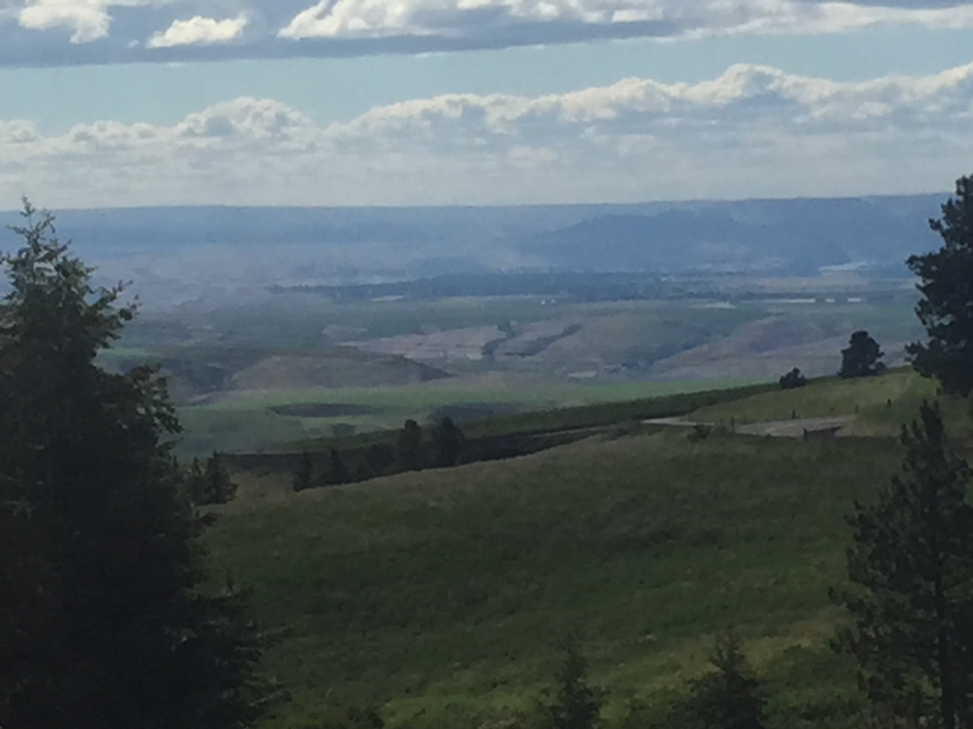
Then it was an exciting descent of 5 steep miles and more gradual downhill to the Snake River. Lewis and Clark had taken the Snake on their way out to the Pacific, but they followed “the forgotten trail” an Indian trade route on the eastward return. In the photo below, you can see the trail still visible on the hillside.
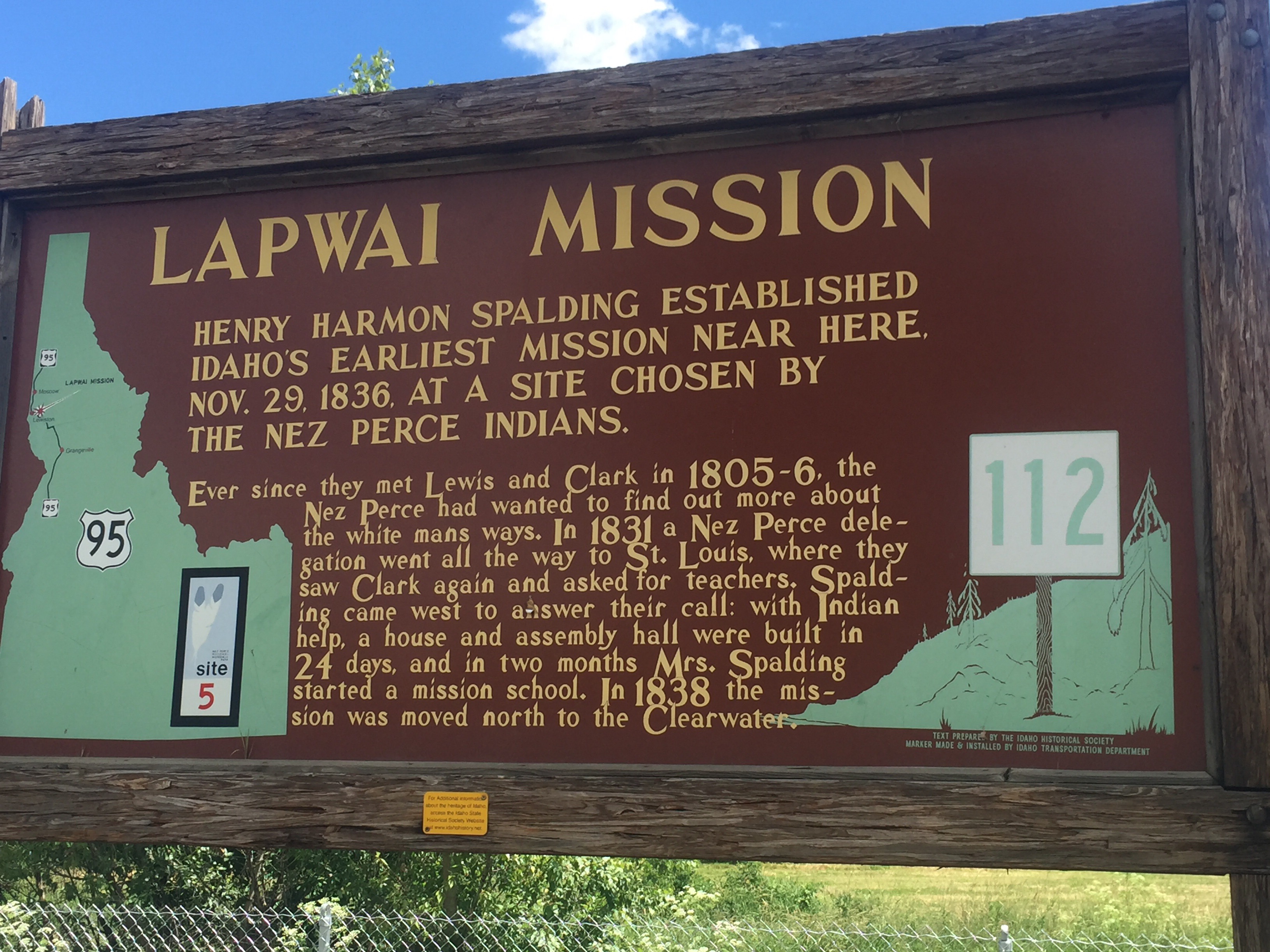
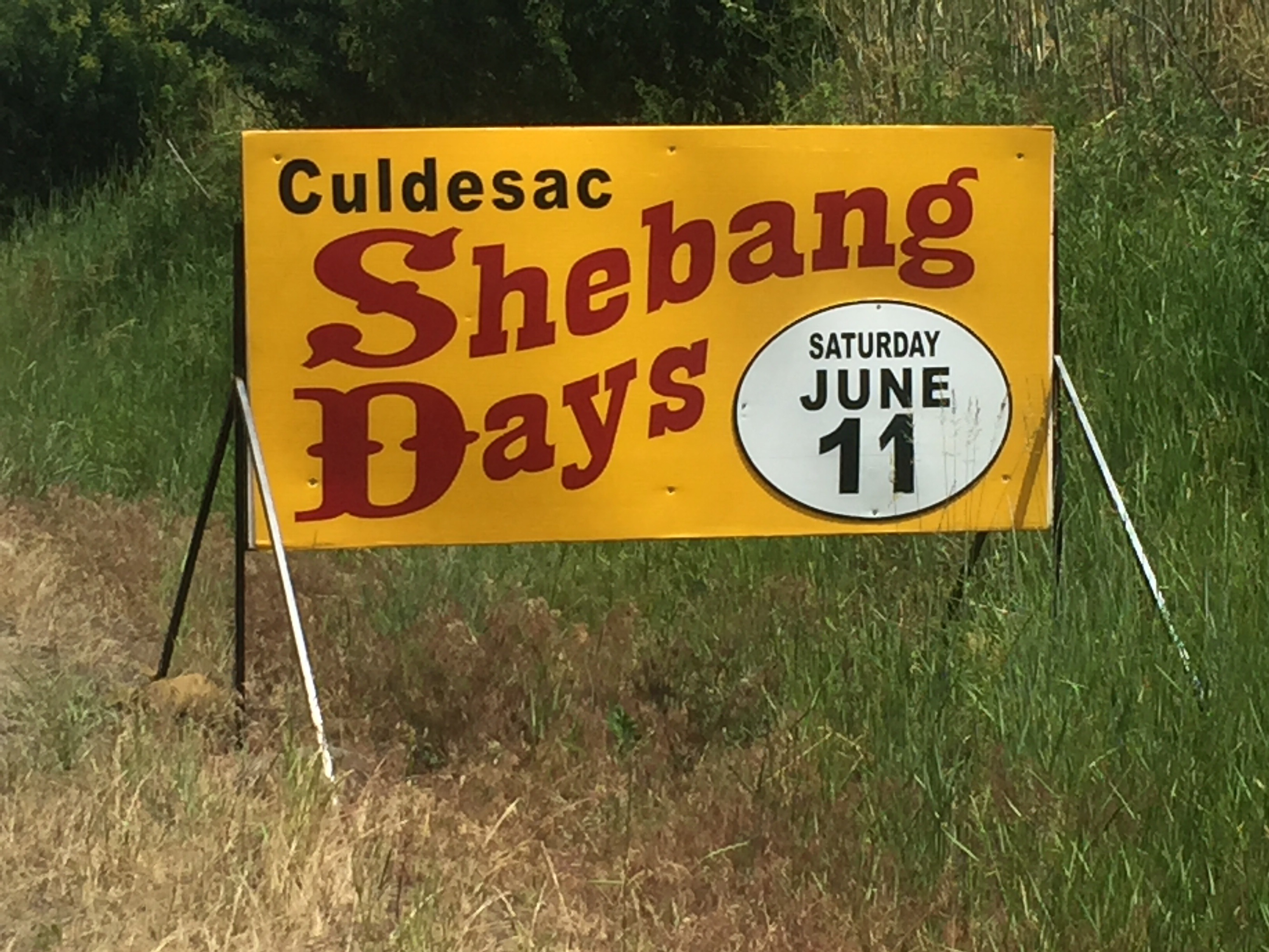
I passed through Clarkston, crossed the bridge and entered Idaho and the town of Lewiston. At this point I followed the Clearwater River for about 12 miles before heading south on US95, through the Nez Perces Reservation. There were regular roadside historical markers along the route. I passed through Lapwai Valley (butterfly in Nez Perces) and came to the town of Culdesac(!)
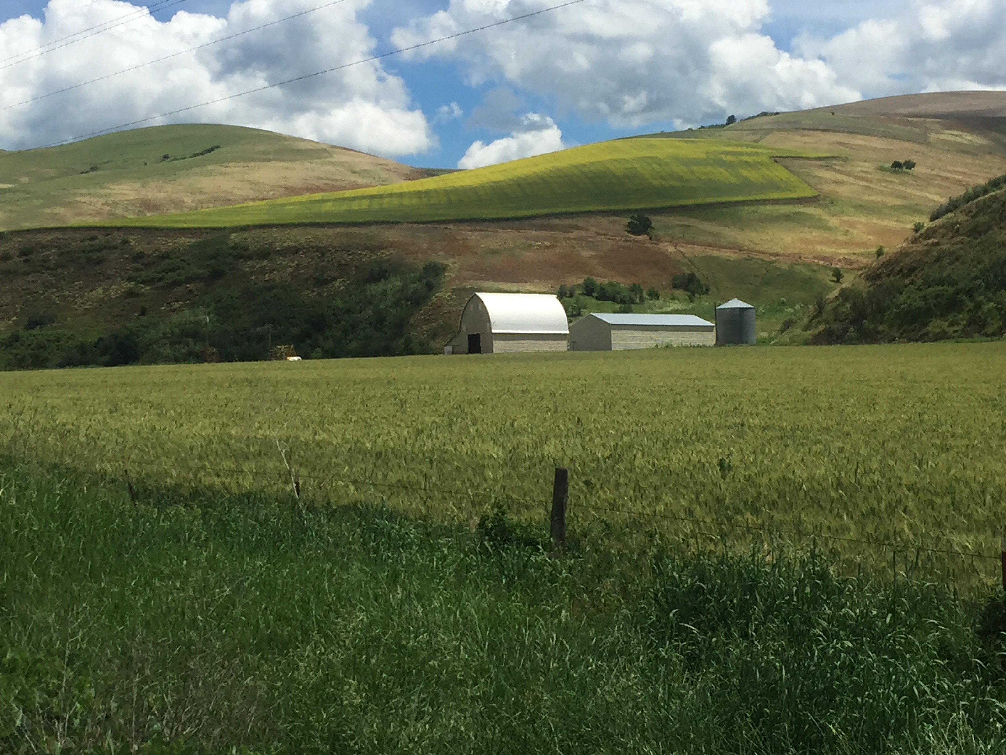
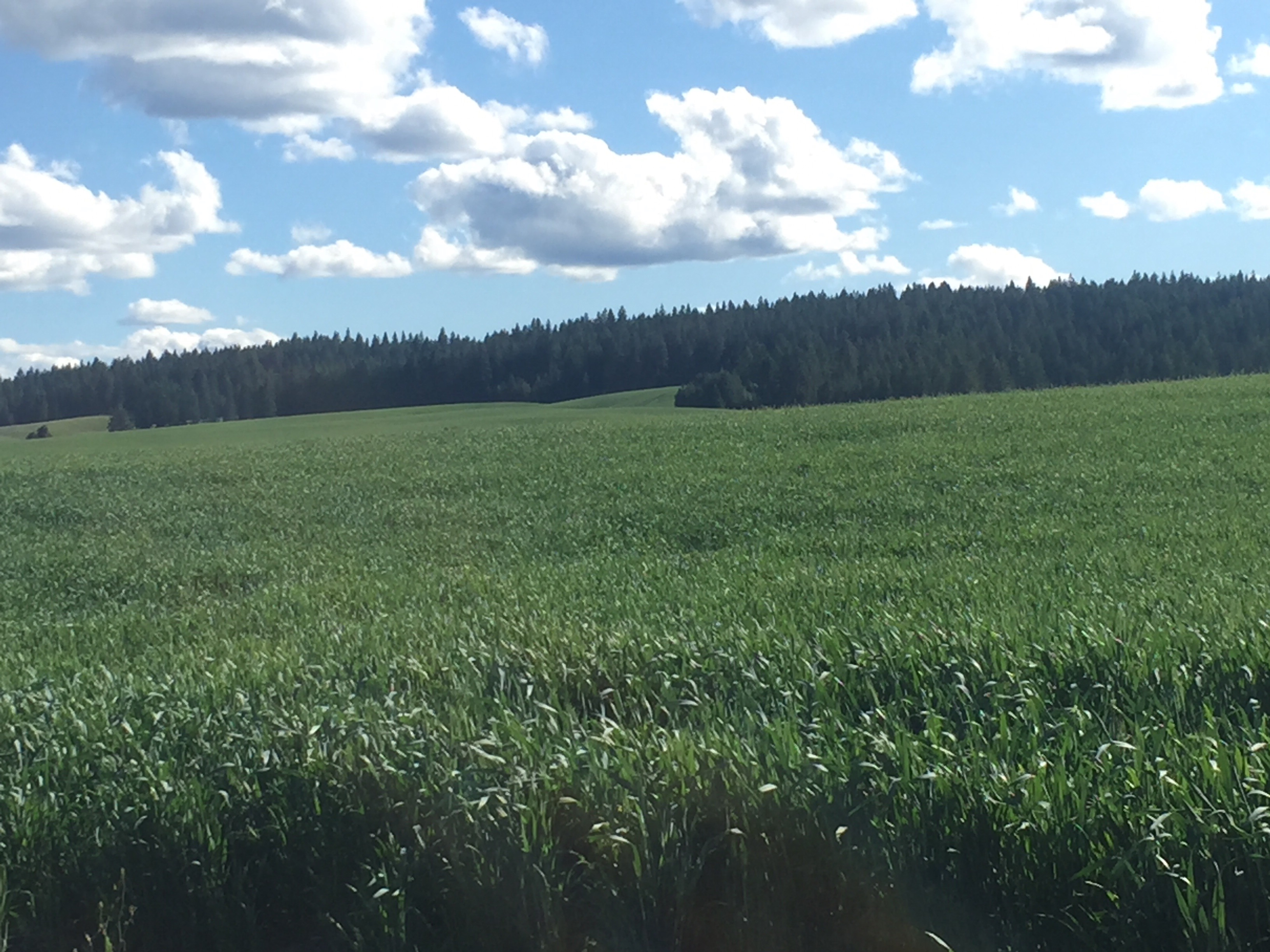
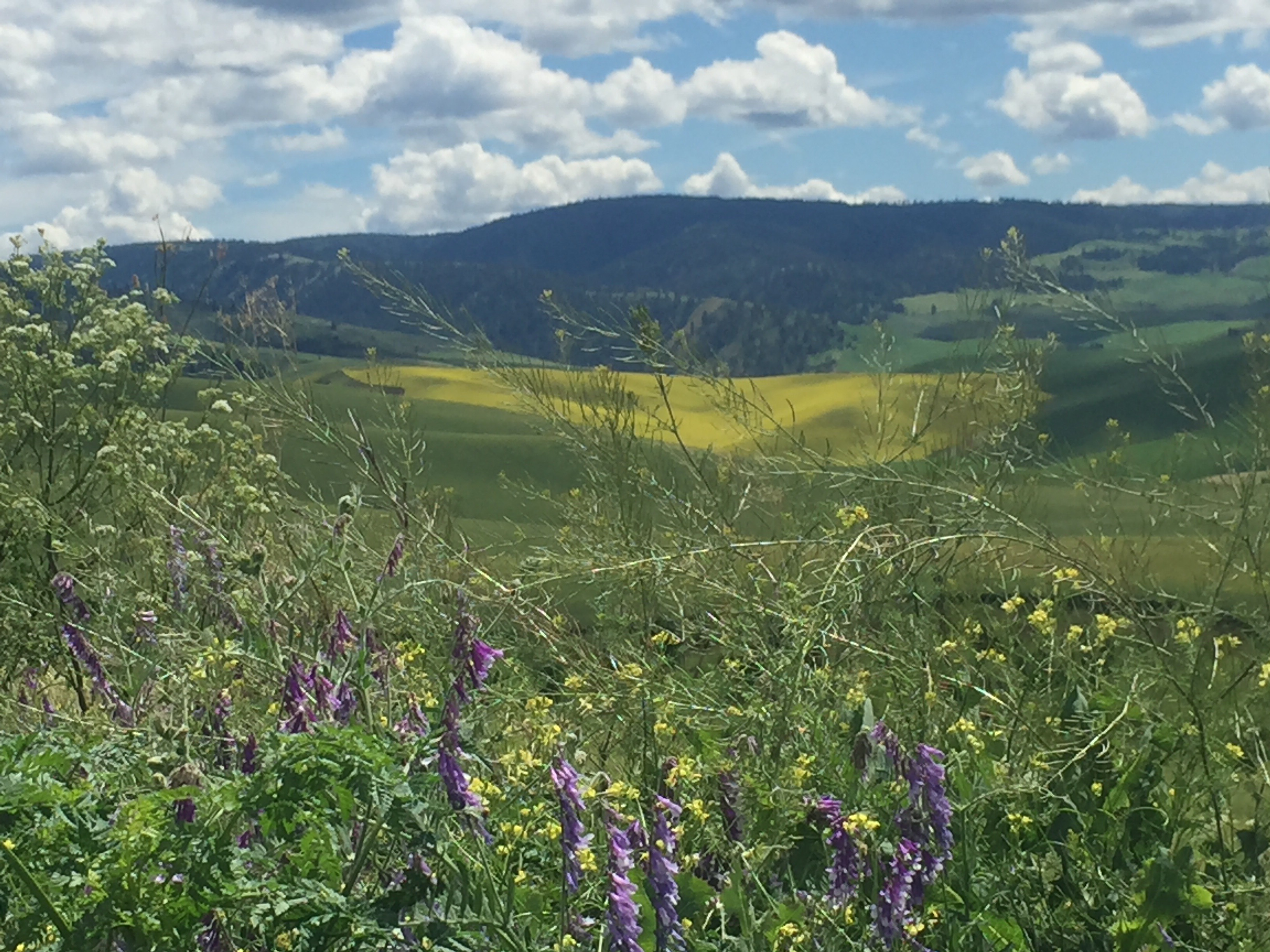
At this point my route started up the Old Winchester Grade. In 8 miles, I climbed about 2500′ and had four vehicles pass me. It was a beautiful ascent and I felt like I was flying over the valleys and wheat fields below.
The grade topped out at about 4300′ and there are rolling hills as far as the eye can see- and now, plenty of forest interspersed with the farms.
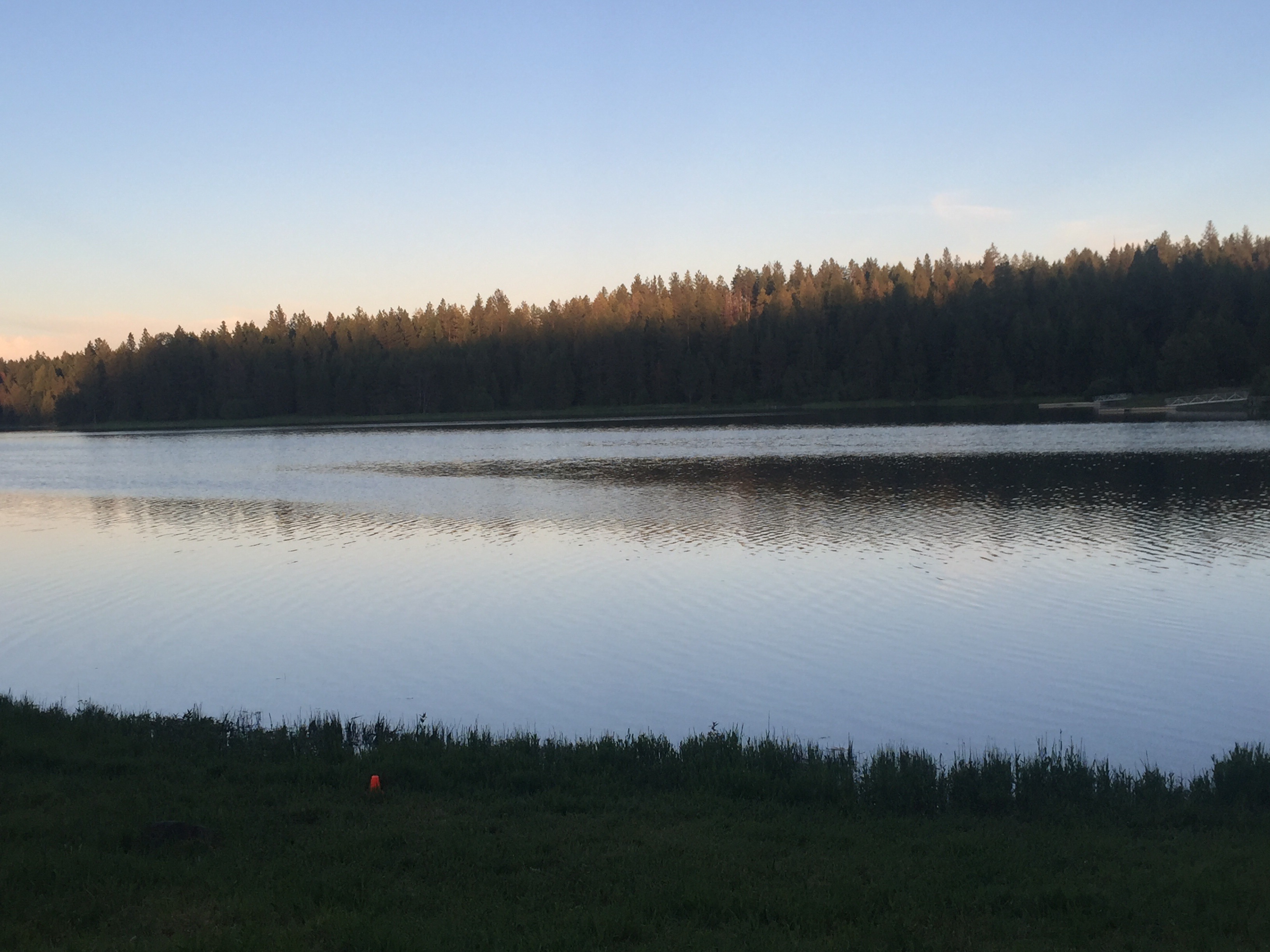
I am staying at Winchester Lake State Park and just met a group of students from Pasco who are here for a year end trip, connected to Broetje Orchards.

Leave a comment